Image caption
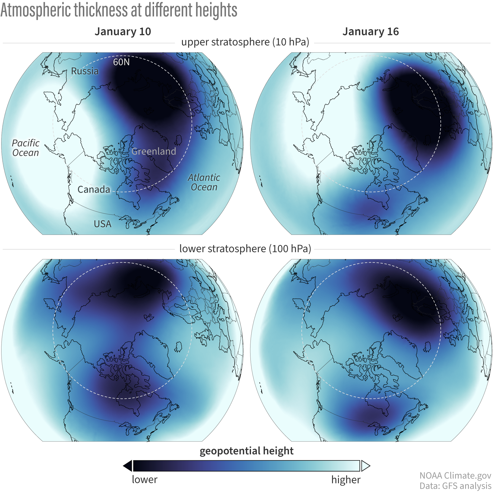
Atmospheric conditions over the last week. In the last several days (left panel), the vortex in the lower stratosphere has been pulled apart from below with two smaller lobes emerging, one of which has been hanging out well above eastern North America. It’s only in the last day or two (right panel) that this splitting of the vortex has extended up towards 10-hPa. NOAA Climate.gov image based on Global Forecast System data provided by Laura Ciasto.