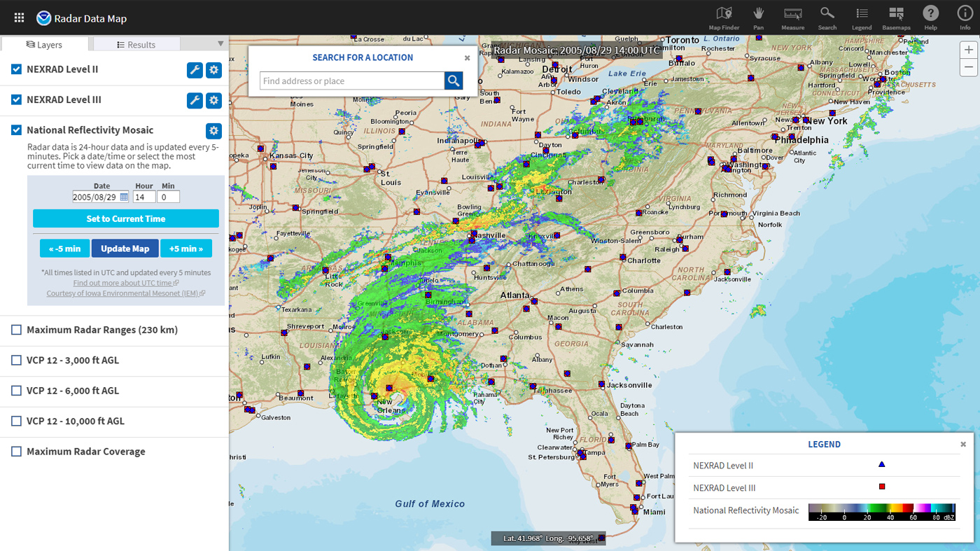
Radar technology enables weather observers to track rain and snow storms in real time. Radar is an object detection system that works by emitting radio waves and measuring the time it takes for them to return after they bounce off objects (such as raindrops or snowflakes) in the air. Weather forecast maps commonly use animations of radar data—color patterns representing the location and intensity of precipitation—to warn people of approaching storms.
Where do these data come from?
NEXRAD (Next Generation Radar) stations obtain weather information (precipitation and wind) based upon returned energy. The radar emits a burst, or pulse, of energy. If the energy strikes an object (raindrop, snowflake, bug, bird, etc), the energy is scattered in all directions. A small fraction of the scattered energy is directed back toward the radar.
The radar instrument receives a signal from this reflected energy during its listening period. Computers analyze the strength of the returned pulse, the time it took to travel to the object and back, and the phase shift of the pulse. This process of emitting a signal, listening for any returned signal, then emitting the next signal, takes place very fast, up to around 1300 times each second. Doppler radars scan the horizon in 360˚ degrees in a set pattern of angles from very low (along the horizon) to very high (almost straight up). A complete set of scans takes around 5 minutes to complete. These scans are interpreted by a computer and translated into an image.
-
What can I do with these data?
- View an animation of radar images over the United States for the most recent 90 minutes
- Check for weather alerts near you
How do I use the site?
- View radar the contiguous United States, or search, zoom, and pan to an area of interest.
- Use the Layers window to change the base layer or add other boundaries.
- In the upper left, click Select View
- Click Local Radar to see the location of radar stations. Click the dot of any active station to display current radar.
- Click Weather for a location to display all current weather alerts.
-
Data Format(s)TXT (ASCII), KML, Other
-
Documentation Type Link & Description General -
Data TypeRadarEssential Climate VariablesPrecipitationScience OrganizationNOAA NCEIEmailncei.orders@noaa.gov
 Click to see more detail
